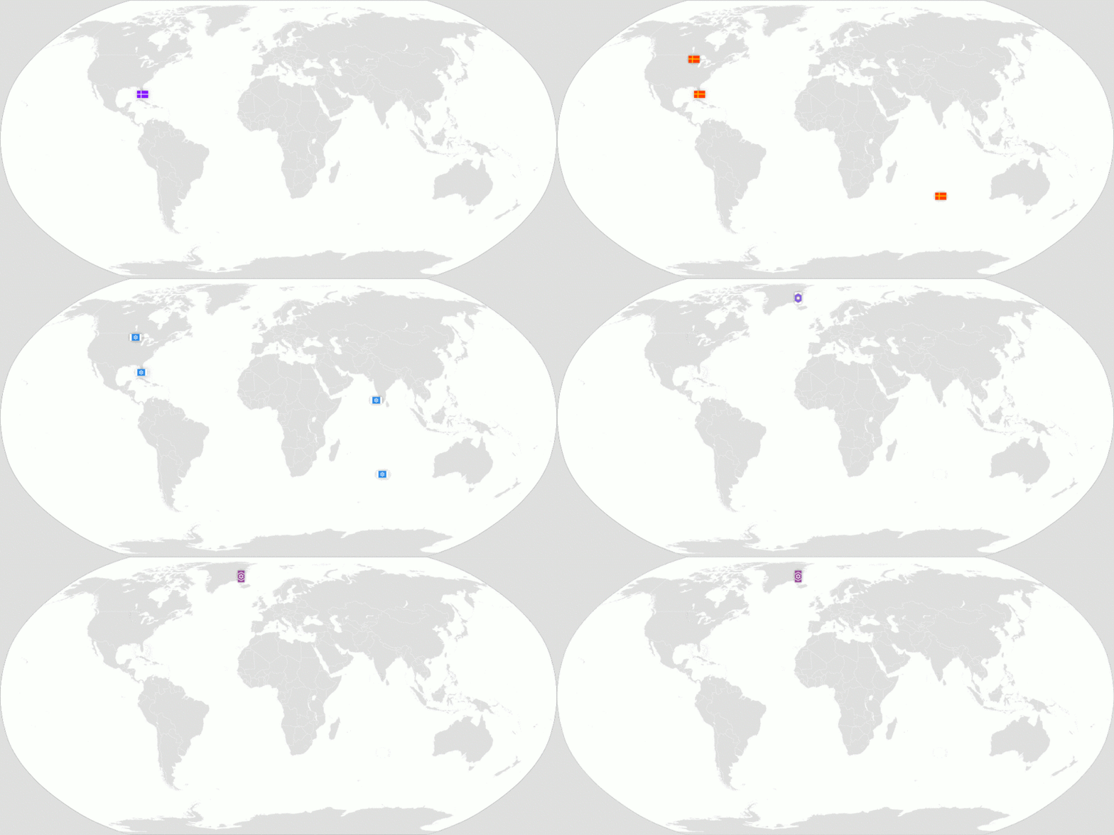
File:Aethodia-Map-Claims-OverTime.gif

Original file (1,000 × 500 pixels, file size: 509 KB, MIME type: image/gif, looped, 18 frames, 18 s)
Summary
This is a historical animation of Theodia's land-claims from 2010-04-22.
The images used in this animation are a combination of Theodian flags and maps from Wikipedia. The maps from Wikipedia are the ones that were on Wikipedia during the times depicted, and their exact dates can be found in the source .xcf file (This file has not been uploaded to MicroWiki, but can be provided on request.). All maps use Wikipedia's legacy map colour, #e0e0e0.
The flags shown were the official national flags of Theodia at the times displayed.
Each frame is 6 months and lasts 1 second.
Licensing
Modified from a Wikimedia image.
File history
Click on a date/time to view the file as it appeared at that time.
| Date/Time | Thumbnail | Dimensions | User | Comment | |
|---|---|---|---|---|---|
| current | 06:46, 12 May 2019 |  | 1,000 × 500 (509 KB) | Swena (talk | contribs) | Updated for April 2019. |
| 11:05, 6 March 2018 | Error creating thumbnail: File missing | 1,000 × 500 (1.49 MB) | Swena (talk | contribs) | By studying old maps and historical writings, I was able to determine that the old claims were not surrendered until the Greenlandic claim. | |
| 10:43, 6 March 2018 | Error creating thumbnail: File missing | 1,000 × 500 (1.54 MB) | Swena (talk | contribs) | This is a historical animation of Theodia's land-claims from 2010-04-22 to 2017-10-22. The images used in this animation are a combination of Theodian flags and maps from Wikipedia. The maps from Wikipedia are the ones that were on Wikipedia during th... |
You cannot overwrite this file.
File usage
The following 5 pages use this file: