File:DVI locator map 2.png
Jump to navigation
Jump to search
Size of this preview: 600 × 600 pixels. Other resolution: 1,024 × 1,024 pixels.
Original file (1,024 × 1,024 pixels, file size: 80 KB, MIME type: image/png)
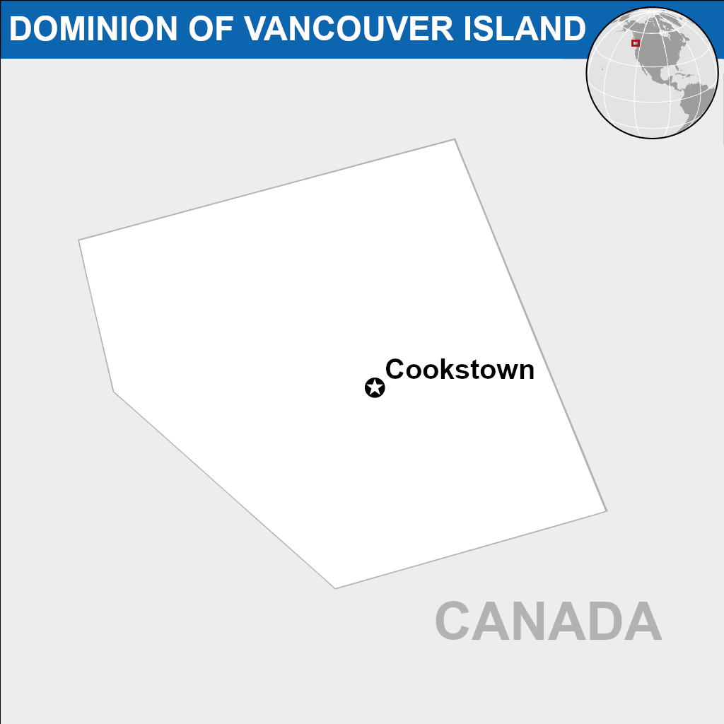
Map showing borders of the Dominion of Vancouver Island within surrounding Canadian territory.
File history
Click on a date/time to view the file as it appeared at that time.
| Date/Time | Thumbnail | Dimensions | User | Comment | |
|---|---|---|---|---|---|
| current | 07:14, 18 February 2023 | | 1,024 × 1,024 (80 KB) | VanIsleDominion (talk | contribs) |
You cannot overwrite this file.
File usage
There are no pages that use this file.