File:Earth postcard 1604791517.jpg
Jump to navigation
Jump to search
Size of this preview: 339 × 600 pixels. Other resolution: 720 × 1,274 pixels.
Original file (720 × 1,274 pixels, file size: 77 KB, MIME type: image/jpeg)
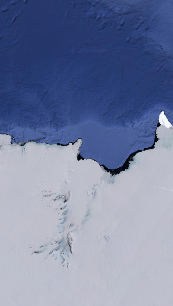
Summary
| Description |
English: Satelite map Province of Mount Tyree and Mac Robertson Land |
|---|---|
| Source |
Own work |
| Date |
2020-11-08 00:26:03 |
| Author | |
| Permission (Reusing this file) |
See below.
|
68°48′05″S 71°38′05″E / 68.801389°S 71.634722°E
Licensing
I, the copyright holder of this work, hereby publish it under the following license:
|
File history
Click on a date/time to view the file as it appeared at that time.
| Date/Time | Thumbnail | Dimensions | User | Comment | |
|---|---|---|---|---|---|
| current | 23:29, 7 November 2020 | | 720 × 1,274 (77 KB) | Principality of Lukkland (talk | contribs) | User created page with UploadWizard |
You cannot overwrite this file.
File usage
There are no pages that use this file.