File:Location of Whatopia Europe.svg
Jump to navigation
Jump to search

Size of this PNG preview of this SVG file: 600 × 600 pixels. Other resolution: 2,048 × 2,048 pixels.
Original file (SVG file, nominally 640 × 640 pixels, file size: 1.21 MB)
{[Deletion}}
Summary
| Description |
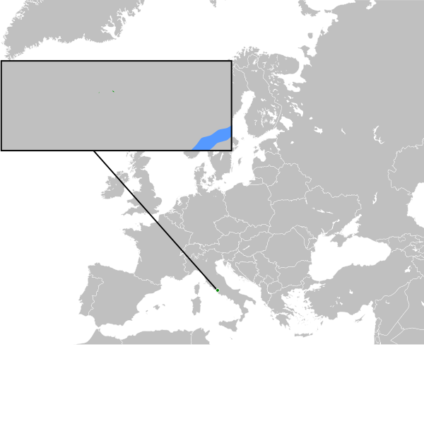
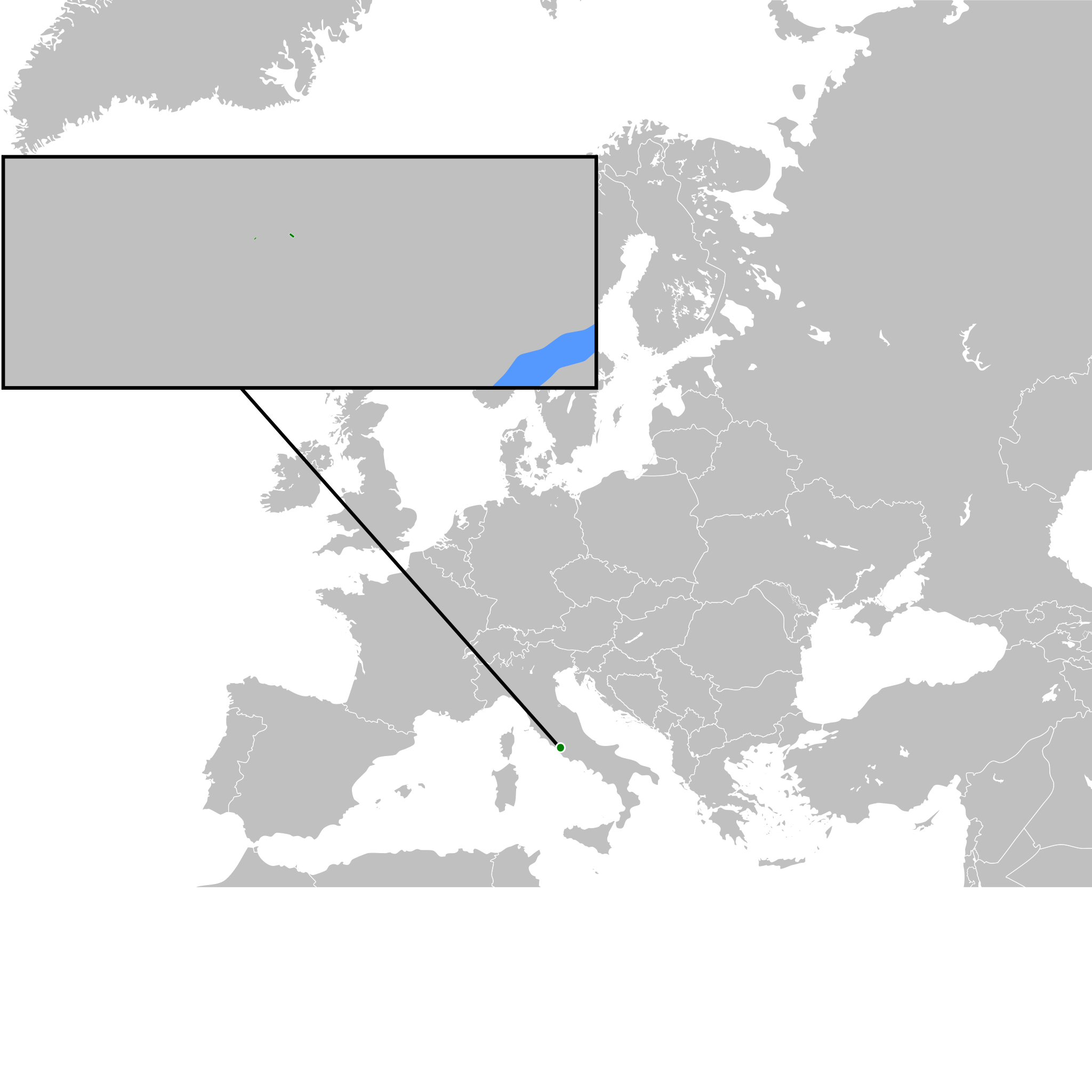
English: The location of Whatopia within Europe. |
|---|---|
| Source |
Own work |
| Date |
2020-07-28 |
| Author | |
| Permission (Reusing this file) |
See below.
|
41°51′41″N 12°27′36″E / 41.861361°N 12.460028°E
Licensing
I, the copyright holder of this work, hereby publish it under the following license:
|
File history
Click on a date/time to view the file as it appeared at that time.
| Date/Time | Thumbnail | Dimensions | User | Comment | |
|---|---|---|---|---|---|
| current | 19:58, 15 August 2020 | | 640 × 640 (1.21 MB) | Whatopia (talk | contribs) | Added land claim. |
| 14:10, 28 July 2020 |  | 640 × 520 (620 KB) | Whatopia (talk | contribs) | User created page with UploadWizard |
You cannot overwrite this file.
File usage
The following page uses this file: