File:New Athens - Illinois Territory Map V2.gif
Jump to navigation
Jump to search

Size of this preview: 364 × 600 pixels. Other resolution: 455 × 750 pixels.
Original file (455 × 750 pixels, file size: 81 KB, MIME type: image/gif, 0.1 s)
Summary
| Description |
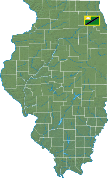
English: A map of all New Athenian territories within Illinois, USA. |
|---|---|
| Source |
Own work |
| Date |
2023-01-24 |
| Author | |
| Permission (Reusing this file) |
See below.
|
Licensing
I, the copyright holder of this work, hereby publish it under the following license:
|
File history
Click on a date/time to view the file as it appeared at that time.
| Date/Time | Thumbnail | Dimensions | User | Comment | |
|---|---|---|---|---|---|
| current | 22:23, 24 January 2023 | | 455 × 750 (81 KB) | NewAthens (talk | contribs) | Uploaded own work with UploadWizard |
You cannot overwrite this file.
File usage
The following page uses this file: