File:Orientalis Map New.png
Jump to navigation
Jump to search
No higher resolution available.
Orientalis_Map_New.png (775 × 525 pixels, file size: 39 KB, MIME type: image/png)
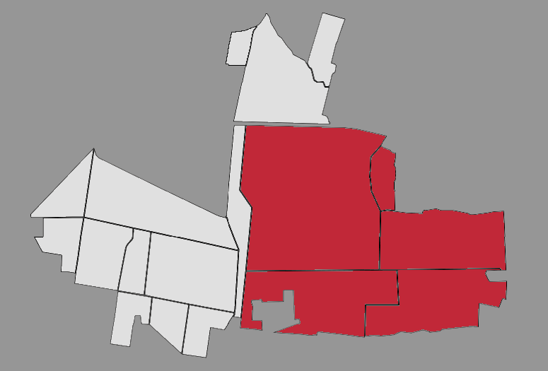
Map of the Orientalis Province, Vlasynia
File history
Click on a date/time to view the file as it appeared at that time.
| Date/Time | Thumbnail | Dimensions | User | Comment | |
|---|---|---|---|---|---|
| current | 12:05, 26 March 2021 | | 775 × 525 (39 KB) | Ested Vlasyn (talk | contribs) |
You cannot overwrite this file.
File usage
The following 2 pages use this file: