File:Urabbaparcensian Water Board.jpg
Jump to navigation
Jump to search

Size of this preview: 432 × 599 pixels. Other resolution: 1,739 × 2,410 pixels.
Original file (1,739 × 2,410 pixels, file size: 1.31 MB, MIME type: image/jpeg)
Summary
| Description |
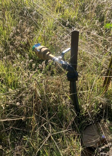
English: The potable water supply for Urabba Parks, located in UP4, at the eastern border with Australia (the unnamed lane running parallel with Urabba Street, Rankins Springs, NSW). Installed by Carrathool Shire Council in October 2021. |
|---|---|
| Source |
Own work |
| Date |
2021-12-30 18:10:09 |
| Author | |
| Permission (Reusing this file) |
See below.
|
33°50′30″S 146°15′34″E / 33.841605°S 146.25935°E
Licensing
I, the copyright holder of this work, hereby publish it under the following license:
|
File history
Click on a date/time to view the file as it appeared at that time.
| Date/Time | Thumbnail | Dimensions | User | Comment | |
|---|---|---|---|---|---|
| current | 06:37, 28 July 2022 |  | 1,739 × 2,410 (1.31 MB) | Racovolis (talk | contribs) | Uploaded own work with UploadWizard |
You cannot overwrite this file.
File usage
The following page uses this file: