File:Alderoaks Map.png
Jump to navigation
Jump to search
Size of this preview: 800 × 584 pixels. Other resolution: 1,290 × 942 pixels.
Original file (1,290 × 942 pixels, file size: 1.92 MB, MIME type: image/png)
Summary
| Description |
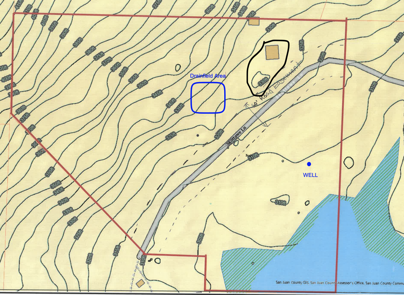
English: A map of Alderoaks; the area within the red border |
|---|---|
| Source |
This came from a PDF, which in turn came from an unknown source |
| Date |
sometime in the 80s |
| Author |
Unknown |
| Permission (Reusing this file) |
See below.
|
Licensing
| This work is licensed under the Creative Commons Attribution-ShareAlike 4.0 License. |
File history
Click on a date/time to view the file as it appeared at that time.
| Date/Time | Thumbnail | Dimensions | User | Comment | |
|---|---|---|---|---|---|
| current | 00:38, 13 June 2023 | | 1,290 × 942 (1.92 MB) | WilliamC (talk | contribs) | Uploaded a work by Unknown from This came from a PDF, which in turn came from an unknown source with UploadWizard |
You cannot overwrite this file.
File usage
The following page uses this file: