File:BRADISTAN MAP.png
Jump to navigation
Jump to search
Size of this preview: 800 × 474 pixels. Other resolution: 1,350 × 800 pixels.
Original file (1,350 × 800 pixels, file size: 19 KB, MIME type: image/png)
Summary
| Description |
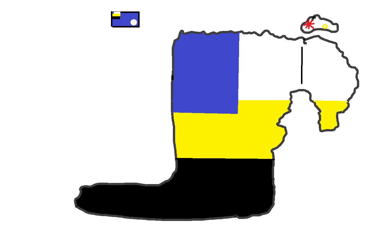
English: A map of Bradistan and its territories |
|---|---|
| Source |
Own work |
| Date |
2022-12-10 |
| Author | |
| Permission (Reusing this file) |
See below.
|
Licensing
I, the copyright holder of this work, hereby publish it under the following license:
|
File history
Click on a date/time to view the file as it appeared at that time.
| Date/Time | Thumbnail | Dimensions | User | Comment | |
|---|---|---|---|---|---|
| current | 12:30, 10 December 2022 | | 1,350 × 800 (19 KB) | FR Bradistan (talk | contribs) | Uploaded own work with UploadWizard |
You cannot overwrite this file.
File usage
There are no pages that use this file.