File:Ceremonial County Map of England.svg

Original file (SVG file, nominally 816 × 991 pixels, file size: 502 KB)
Summary
| Description |
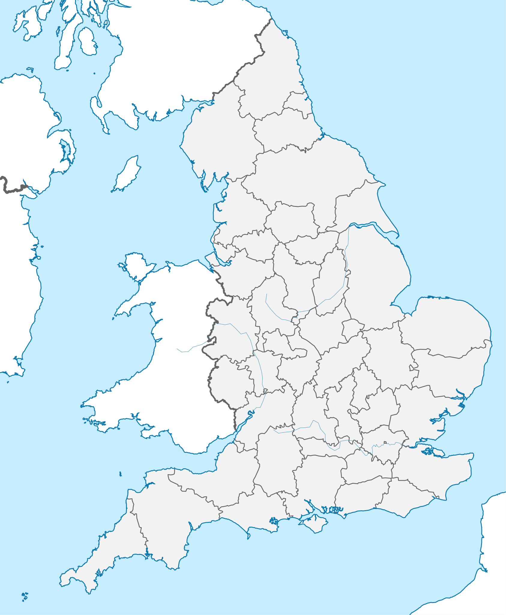
English: Ceremonial county map of England |
|---|---|
| Source |
Wikipedia - Edited |
| Date |
2021-03-12 |
| Author |
By TUBS - Own work This W3C-unspecified vector image was created with Adobe Illustrator. This file was uploaded with Commonist. This vector image includes elements that have been taken or adapted from this file: England location map.svg (by Spischot). This vector image includes elements that have been taken or adapted from this file: English administrative divisions 2010.svg (by Nilfanion)., CC BY-SA 3.0, https://commons.wikimedia.org/w/index.php?curid=17509599 |
| Permission (Reusing this file) |
See below.
|
Licensing
| This work is licensed under the Creative Commons Attribution-ShareAlike 3.0 License. |
File history
Click on a date/time to view the file as it appeared at that time.
| Date/Time | Thumbnail | Dimensions | User | Comment | |
|---|---|---|---|---|---|
| current | 09:47, 12 March 2021 | | 816 × 991 (502 KB) | Typicalcitrus (talk | contribs) | User created page with UploadWizard |
You cannot overwrite this file.
File usage
The following page uses this file: