File:County Map of Ohio.svg
Jump to navigation
Jump to search

Size of this PNG preview of this SVG file: 503 × 599 pixels. Other resolution: 1,718 × 2,048 pixels.
Original file (SVG file, nominally 3,675 × 4,380 pixels, file size: 62 KB)
Licensing
| Description |
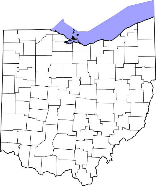
English: Map showing the counties of Ohio | |||
|---|---|---|---|---|
| Source |
Work derived from commons:File:Map of Ohio highlighting Clermont County.svg | |||
| Date |
21 March 2024 | |||
| Author | ||||
| Permission (Reusing this file) |
| |||
| Additional information |
File history
Click on a date/time to view the file as it appeared at that time.
| Date/Time | Thumbnail | Dimensions | User | Comment | |
|---|---|---|---|---|---|
| current | 13:10, 20 September 2022 | | 3,675 × 4,380 (62 KB) | Strubber (talk | contribs) | Full image |
| 13:05, 20 September 2022 |  | 3,675 × 3,995 (61 KB) | Strubber (talk | contribs) |
You cannot overwrite this file.
File usage
The following 3 pages use this file: