File:Daliwood map.png
Jump to navigation
Jump to search
Size of this preview: 600 × 600 pixels. Other resolution: 1,880 × 1,880 pixels.
Original file (1,880 × 1,880 pixels, file size: 749 KB, MIME type: image/png)
Summary
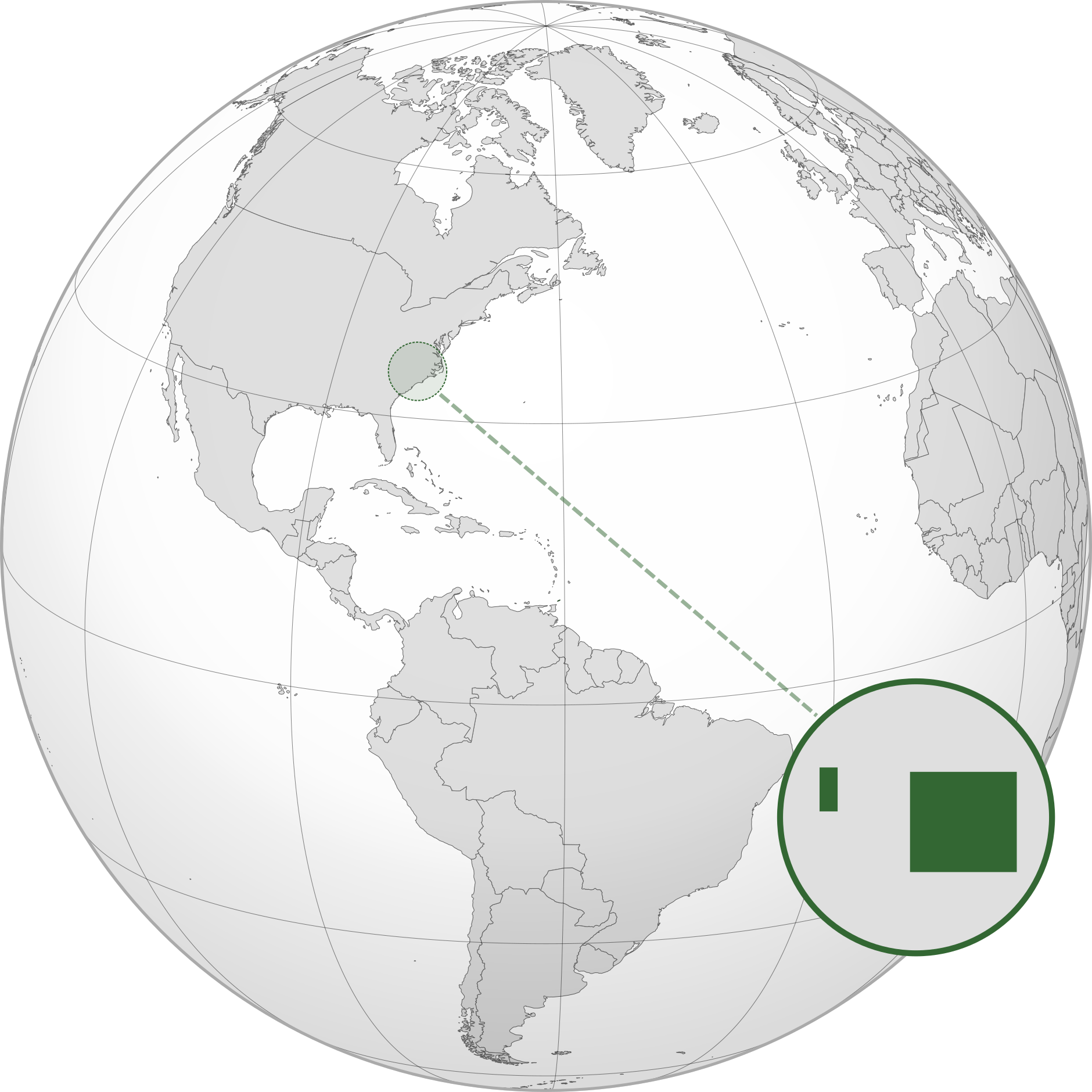
| Description |
English: A map of the Republic of Daliwood. The smaller state to the west is the House while the larger state to the east is the Park. |
|---|---|
| Source |
Own work |
| Date |
2023-11-11 |
| Author | |
| Permission (Reusing this file) |
See below.
|
Licensing
I, the copyright holder of this work, hereby publish it under the following license:
|
File history
Click on a date/time to view the file as it appeared at that time.
| Date/Time | Thumbnail | Dimensions | User | Comment | |
|---|---|---|---|---|---|
| current | 22:37, 11 November 2023 | | 1,880 × 1,880 (749 KB) | Di (they-them) (talk | contribs) | Uploaded own work with UploadWizard |
You cannot overwrite this file.
File usage
The following page uses this file: