File:Dorset UK location map.png
Jump to navigation
Jump to search
No higher resolution available.
Dorset_UK_location_map.png (800 × 556 pixels, file size: 221 KB, MIME type: image/png)
Summary
| Description |
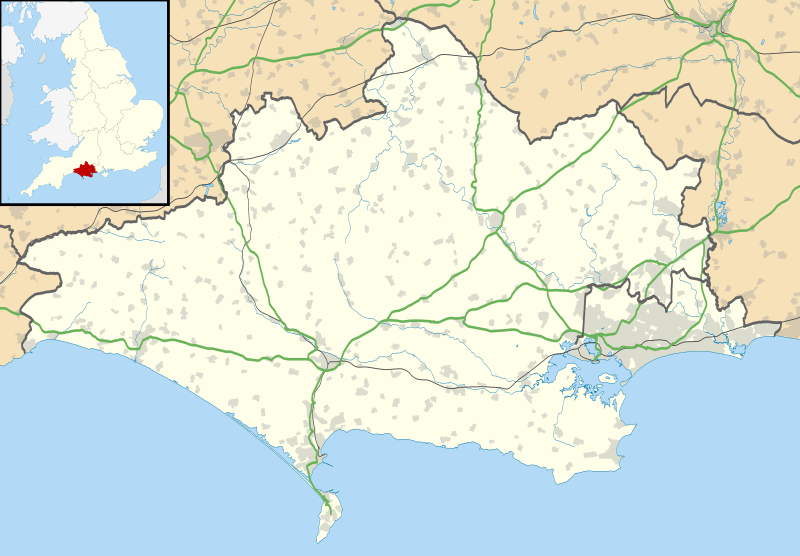
English: Map of Dorset with the following information shown: Administrative borders Coastline, lakes and rivers Roads and railways Urban areas Equirectangular map projection on WGS 84 datum, with N/S stretched 155% Geographic limits: West: 2.99W East: 1.65W North: 51.10N South: 50.50N |
|---|---|
| Source |
Wikimedia Commons |
| Date |
2010-09-26 |
| Author |
Nilfanion, created using Ordnance Survey data |
| Permission (Reusing this file) |
See below.
|
Licensing
| This work is licensed under the Creative Commons Attribution-ShareAlike 3.0 License. |
File history
Click on a date/time to view the file as it appeared at that time.
| Date/Time | Thumbnail | Dimensions | User | Comment | |
|---|---|---|---|---|---|
| current | 02:25, 22 March 2022 | | 800 × 556 (221 KB) | DukeGeorge (talk | contribs) | Uploaded a work by Nilfanion, created using Ordnance Survey data from Wikimedia Commons with UploadWizard |
You cannot overwrite this file.
File usage
The following page uses this file: