File:Map of Britzerland.png
Jump to navigation
Jump to search
No higher resolution available.
Map_of_Britzerland.png (757 × 497 pixels, file size: 319 KB, MIME type: image/png)
Summary
| Description |
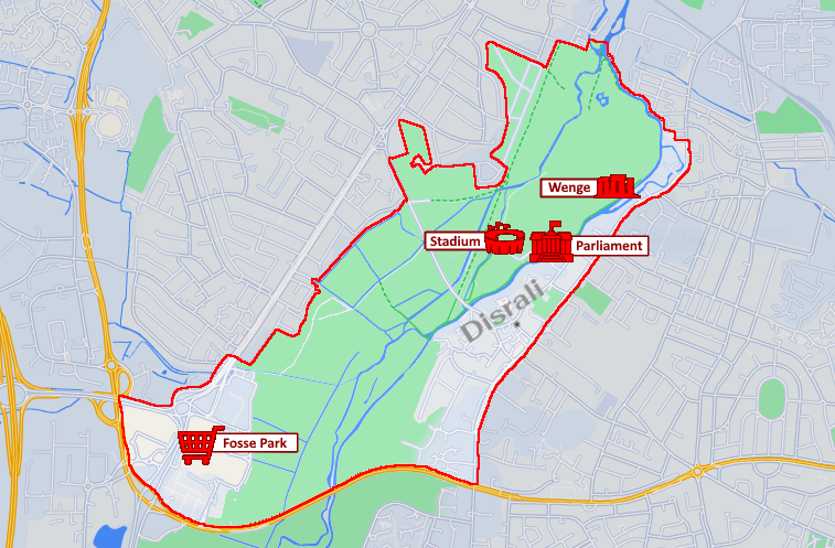
English: The Map of Britzerland |
|---|---|
| Source |
Own work |
| Date |
2022-12-09 |
| Author | |
| Permission (Reusing this file) |
See below.
|
Licensing
I, the copyright holder of this work, hereby publish it under the following license:
|
File history
Click on a date/time to view the file as it appeared at that time.
| Date/Time | Thumbnail | Dimensions | User | Comment | |
|---|---|---|---|---|---|
| current | 15:09, 9 December 2022 | | 757 × 497 (319 KB) | Taitwo (talk | contribs) | Uploaded own work with UploadWizard |
You cannot overwrite this file.
File usage
The following page uses this file: