File:Map of Northwood-Oregon (Counties present).svg
Jump to navigation
Jump to search

Size of this PNG preview of this SVG file: 552 × 599 pixels. Other resolution: 1,887 × 2,048 pixels.
Original file (SVG file, nominally 656 × 712 pixels, file size: 541 KB)
Summary
| Description |
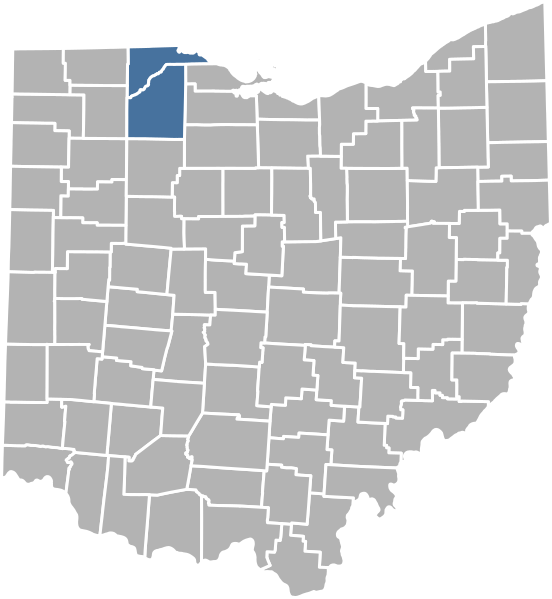
English: A map showing which Ohio counties the Kingdom of Northwood-Oregon is present in. | |||
|---|---|---|---|---|
| Source |
Own work by Carson Snyder. | |||
| Date |
14 February 2023 | |||
| Author | ||||
| Permission (Reusing this file) |
| |||
| Additional information |
File history
Click on a date/time to view the file as it appeared at that time.
| Date/Time | Thumbnail | Dimensions | User | Comment | |
|---|---|---|---|---|---|
| current | 15:53, 14 February 2023 | | 656 × 712 (541 KB) | Strubber (talk | contribs) | A map showing which Ohio counties the Kingdom of Northwood-Oregon is present in. Category:Northwood-Oregon files |
You cannot overwrite this file.
File usage
The following 2 pages use this file:
.svg&oldid=1759827)