File:Map of Oxfordshire.png
Jump to navigation
Jump to search
Size of this preview: 494 × 600 pixels. Other resolution: 640 × 777 pixels.
Original file (640 × 777 pixels, file size: 134 KB, MIME type: image/png)
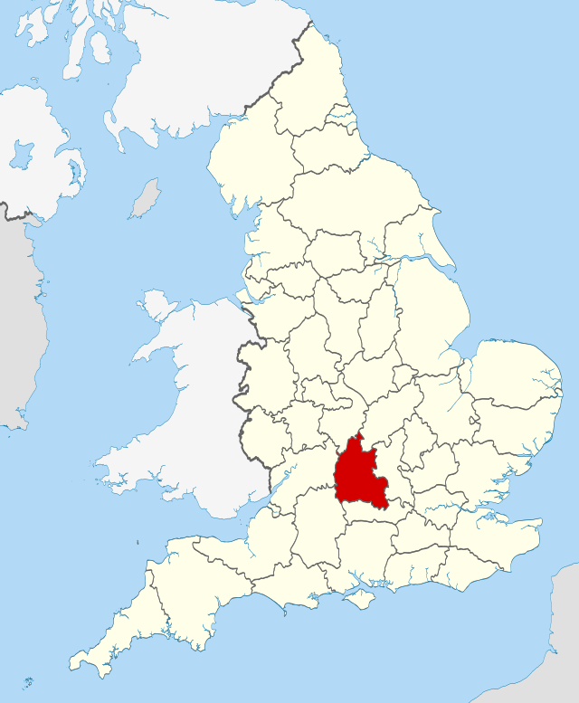
this is a map of the oxfordshire region in the uk
File history
Click on a date/time to view the file as it appeared at that time.
| Date/Time | Thumbnail | Dimensions | User | Comment | |
|---|---|---|---|---|---|
| current | 00:50, 22 August 2022 | | 640 × 777 (134 KB) | Pouanduwu (talk | contribs) |
You cannot overwrite this file.
File usage
The following page uses this file: