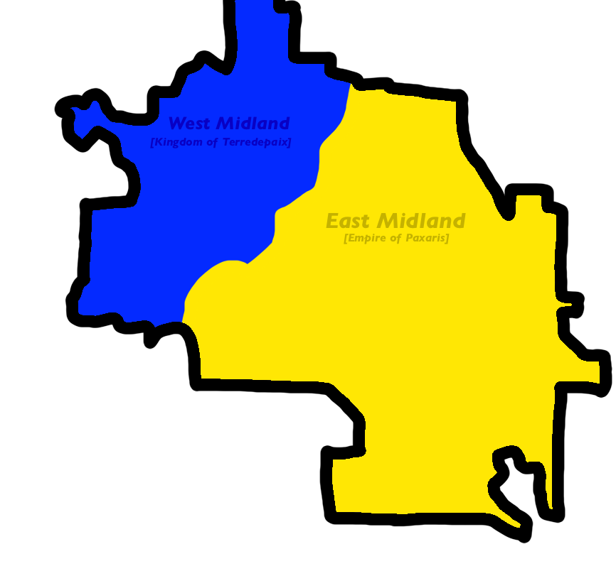
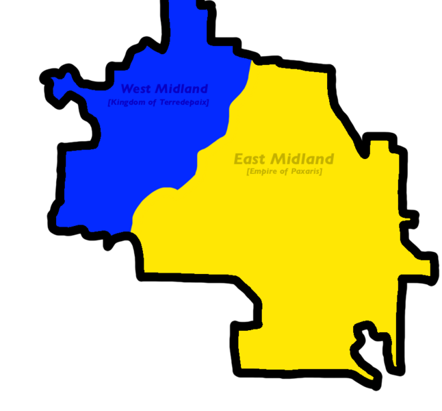
File:Map of midland after the split .png
Jump to navigation
Jump to search
Size of this preview: 646 × 600 pixels. Other resolution: 866 × 804 pixels.
Original file (866 × 804 pixels, file size: 67 KB, MIME type: image/png)
Map of midland after the split
File history
Click on a date/time to view the file as it appeared at that time.
| Date/Time | Thumbnail | Dimensions | User | Comment | |
|---|---|---|---|---|---|
| current | 22:28, 13 October 2022 | | 866 × 804 (67 KB) | Micronationsareverycool (talk | contribs) |
You cannot overwrite this file.
File usage
The following 2 pages use this file: