File:Map of the ROTA.png
Jump to navigation
Jump to search
No higher resolution available.
Map_of_the_ROTA.png (376 × 413 pixels, file size: 86 KB, MIME type: image/png)
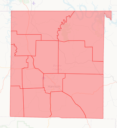
Map consists of the 12 states located within Boone County.
File history
Click on a date/time to view the file as it appeared at that time.
| Date/Time | Thumbnail | Dimensions | User | Comment | |
|---|---|---|---|---|---|
| current | 08:22, 4 February 2024 | | 376 × 413 (86 KB) | ROALOUT (talk | contribs) |
You cannot overwrite this file.
File usage
The following page uses this file: