File:NETLC Map.png
Jump to navigation
Jump to search
No higher resolution available.
NETLC_Map.png (549 × 549 pixels, file size: 278 KB, MIME type: image/png)
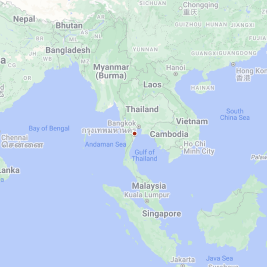
Map of Commonwealth of Novo-Erecteutolectrocia inside Indochinese peninsula (Mark: 12°47'16.3"N 99°54'43.8"E)
File history
Click on a date/time to view the file as it appeared at that time.
| Date/Time | Thumbnail | Dimensions | User | Comment | |
|---|---|---|---|---|---|
| current | 03:52, 10 October 2023 | | 549 × 549 (278 KB) | RedWoolTH (talk | contribs) |
You cannot overwrite this file.
File usage
The following page uses this file: