File:Administrative regions and special administrative regions map of Kanazia.png
(Redirected from File:Regions And Colony map of the Socialist Republic of Kanazia.png)
Size of this preview: 800 × 431 pixels. Other resolution: 2,320 × 1,250 pixels.
Original file (2,320 × 1,250 pixels, file size: 38 KB, MIME type: image/png)
Summary
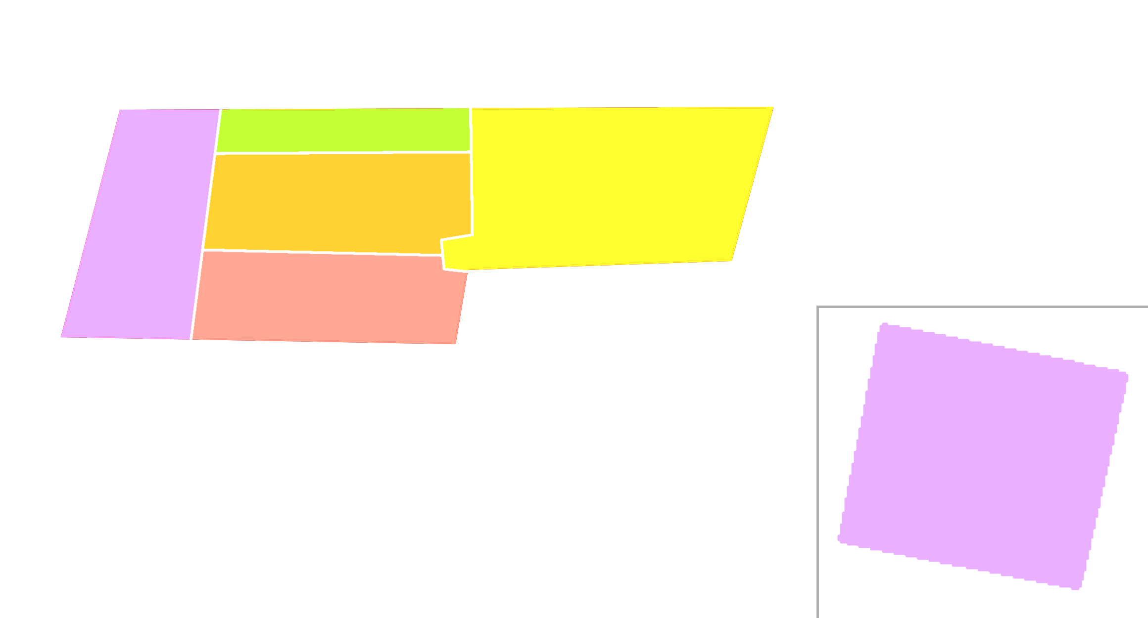
| Description |
English: Regions And Colony map of the Socialist Republic of Kanazia |
|---|---|
| Source |
Own work |
| Date |
2023-01-15 |
| Author | |
| Permission (Reusing this file) |
See below.
|
Licensing
I, the copyright holder of this work, hereby publish it under the following license:
|
File history
Click on a date/time to view the file as it appeared at that time.
| Date/Time | Thumbnail | Dimensions | User | Comment | |
|---|---|---|---|---|---|
| current | 09:12, 15 January 2023 | | 2,320 × 1,250 (38 KB) | SouthLanNa (talk | contribs) | Uploaded own work with UploadWizard |
You cannot overwrite this file.
File usage
The following 5 pages use this file: