File:Therift map.png
Jump to navigation
Jump to search
Size of this preview: 600 × 600 pixels. Other resolutions: 2,048 × 2,048 pixels | 4,096 × 4,096 pixels.
Original file (4,096 × 4,096 pixels, file size: 6.48 MB, MIME type: image/png)
Summary
| Description |
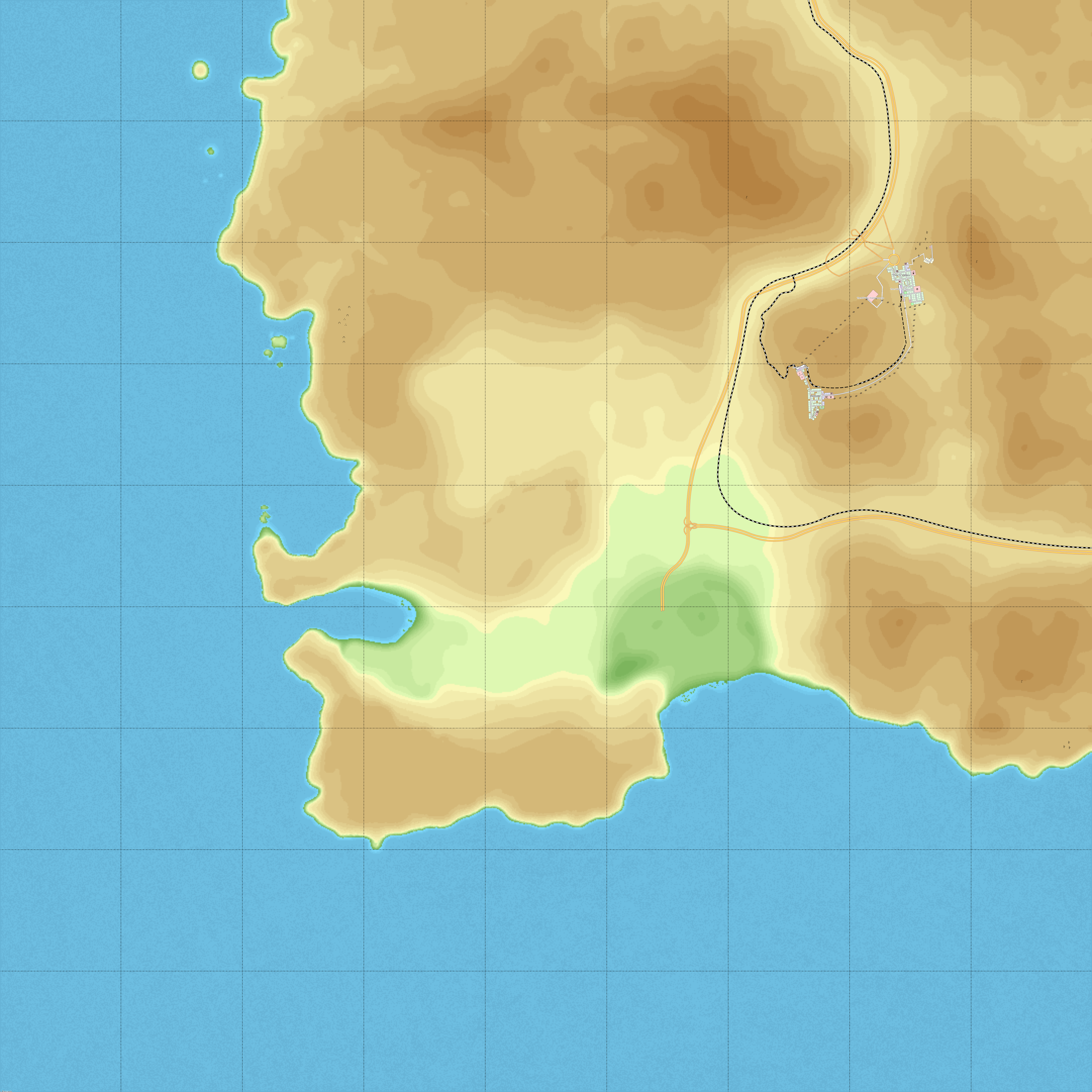
English: Sattilite image of The Rift with it's unclaimed territory outlined in red. |
|---|---|
| Source |
Own work |
| Date |
2022-09-17 |
| Author | |
| Permission (Reusing this file) |
See below.
|
Licensing
I, the copyright holder of this work, hereby publish it under the following license:
|
File history
Click on a date/time to view the file as it appeared at that time.
| Date/Time | Thumbnail | Dimensions | User | Comment | |
|---|---|---|---|---|---|
| current | 13:31, 18 September 2022 | | 4,096 × 4,096 (6.48 MB) | TheUnlandedNation (talk | contribs) | |
| 18:54, 17 September 2022 | 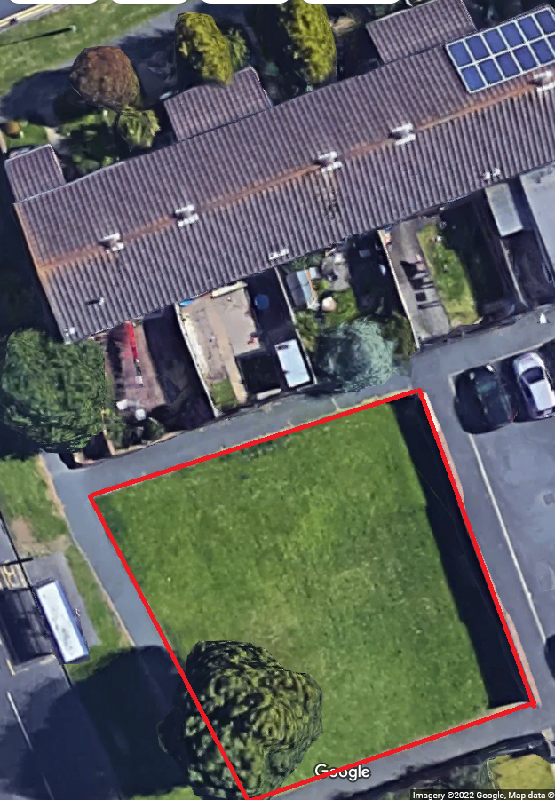 | 625 × 901 (925 KB) | TheUnlandedNation (talk | contribs) | Uploaded own work with UploadWizard |
You cannot overwrite this file.
File usage
The following 2 pages use this file: