File:TrasonaMap.png
Jump to navigation
Jump to search
Size of this preview: 600 × 600 pixels. Other resolution: 1,280 × 1,280 pixels.
Original file (1,280 × 1,280 pixels, file size: 211 KB, MIME type: image/png)
Summary
| Description |
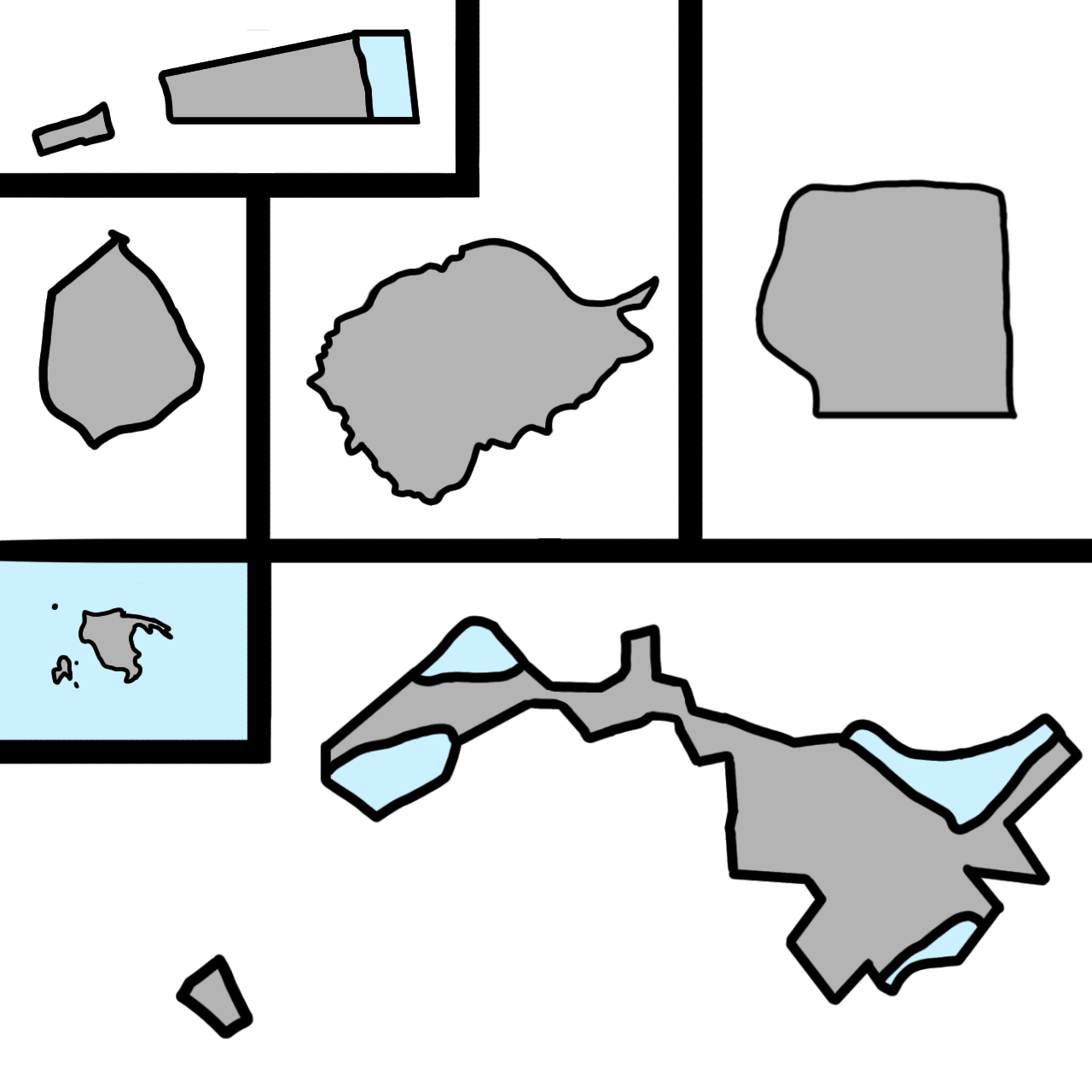
English: Map of the State of Trasona |
|---|---|
| Source |
Own work |
| Date |
2022-05-01 |
| Author | |
| Permission (Reusing this file) |
See below.
|
Licensing
I, the copyright holder of this work, hereby publish it under the following license:
|
File history
Click on a date/time to view the file as it appeared at that time.
| Date/Time | Thumbnail | Dimensions | User | Comment | |
|---|---|---|---|---|---|
| current | 23:39, 11 July 2022 | | 1,280 × 1,280 (211 KB) | DecimusBASED (talk | contribs) | |
| 19:39, 3 June 2022 | 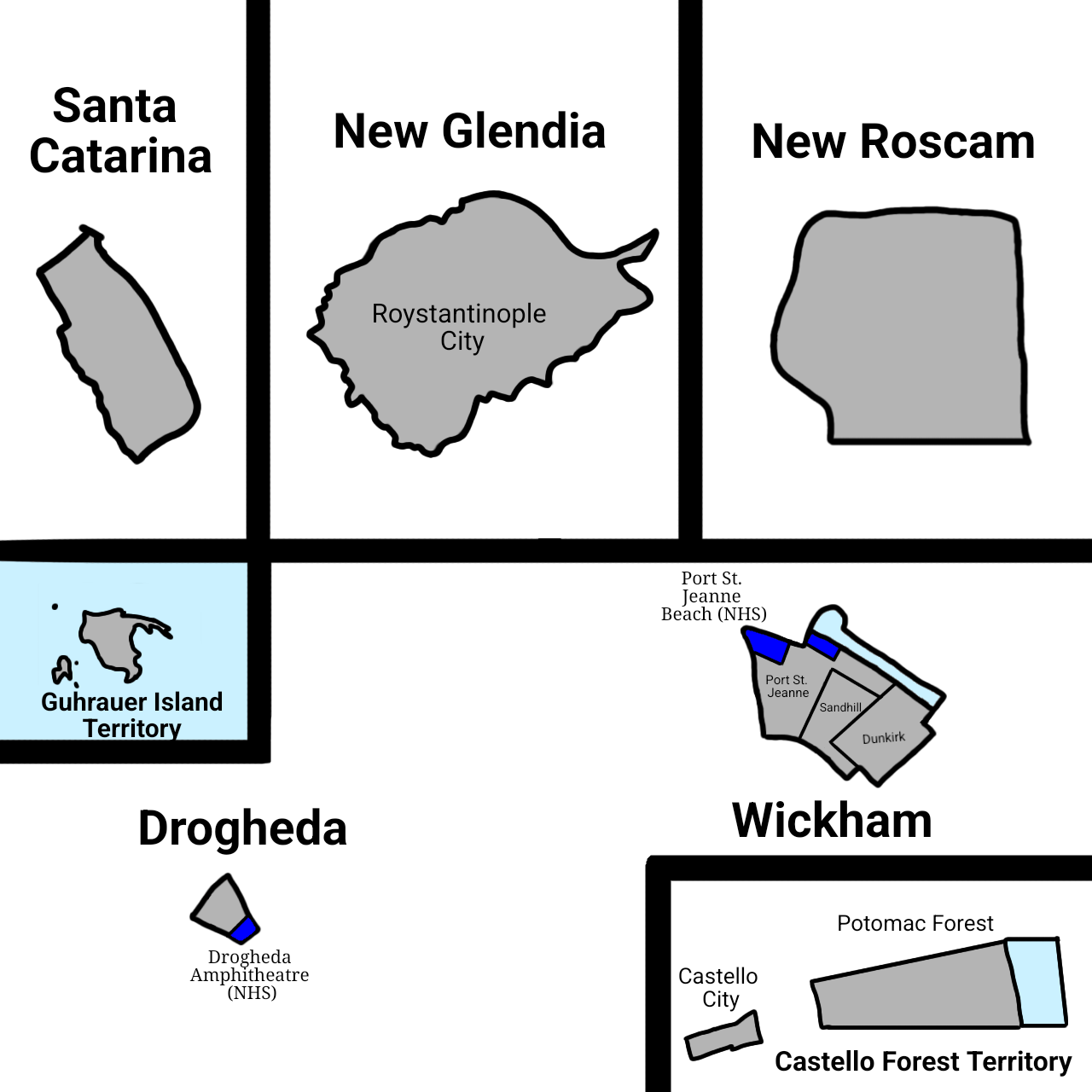 | 1,280 × 1,280 (238 KB) | DecimusBASED (talk | contribs) | ||
| 14:00, 6 May 2022 |  | 1,280 × 1,280 (189 KB) | DecimusBASED (talk | contribs) | Uploaded own work with UploadWizard |
You cannot overwrite this file.
File usage
The following page uses this file: