File:WatertopiaMap.png
Jump to navigation
Jump to search
No higher resolution available.
WatertopiaMap.png (550 × 550 pixels, file size: 58 KB, MIME type: image/png)
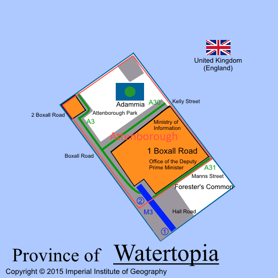
Map of Watertopia, Empire of Adammia. Produced by the Imperial Institute of Geography
File history
Click on a date/time to view the file as it appeared at that time.
| Date/Time | Thumbnail | Dimensions | User | Comment | |
|---|---|---|---|---|---|
| current | 03:36, 1 March 2015 | | 550 × 550 (58 KB) | EmperorAdamI (talk | contribs) | Map of Watertopia, Empire of Adammia. Produced by the Imperial Institute of Geography Category:Empire of Adammia |
You cannot overwrite this file.
File usage
The following 3 pages use this file: