File:AthabascaDistrictMap.jpg
Jump to navigation
Jump to search

Size of this preview: 800 × 581 pixels. Other resolution: 1,024 × 744 pixels.
Original file (1,024 × 744 pixels, file size: 314 KB, MIME type: image/jpeg)
Summary
| Description |
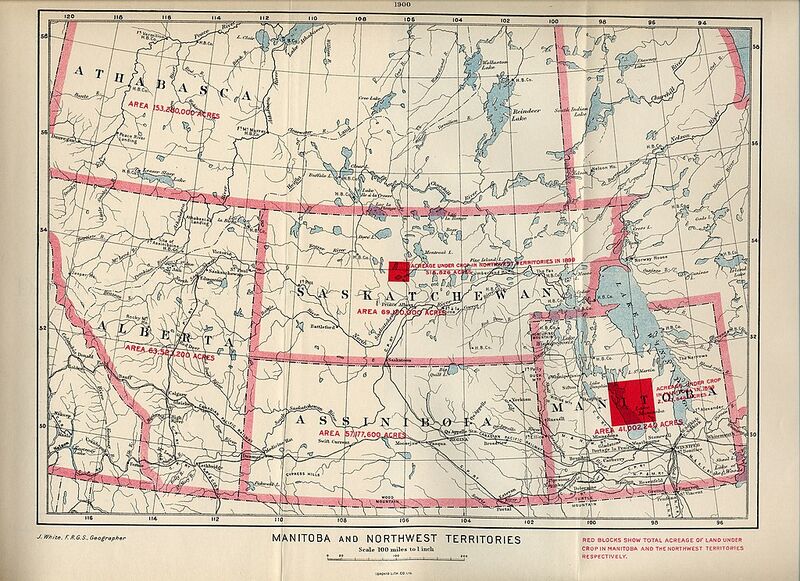
English: Manitoba and Northwest Territories (1900) White, James. Manitoba and Northwest Territories [map]. 1:950,400. [Ottawa]: Dept. of the Interior, 1900. Red blocks show total acreage of land under crop in Manitoba and the Northwest Territories respectively. Shows size, in acres the areas of Athabasca, Alberta, Saskatchewan, Assiniboia and Manitoba in 1900. |
|---|---|
| Source | |
| Date |
1900 |
| Author |
University of Manitoba : Elizabeth Dafoe Library : Map Collection |
| Permission (Reusing this file) |
See below.
|
Licensing
| This work is licensed under the Creative Commons Attribution 2.0 License. |
File history
Click on a date/time to view the file as it appeared at that time.
| Date/Time | Thumbnail | Dimensions | User | Comment | |
|---|---|---|---|---|---|
| current | 06:51, 17 October 2023 |  | 1,024 × 744 (314 KB) | Xulf (talk | contribs) | Uploaded a work by University of Manitoba : Elizabeth Dafoe Library : Map Collection from https://www.flickr.com/photos/11496488@N07/2115081043/ with UploadWizard |
You cannot overwrite this file.
File usage
The following 2 pages use this file: