File:National Map of the State of Elbonia.png
Jump to navigation
Jump to search
No higher resolution available.
National_Map_of_the_State_of_Elbonia.png (540 × 540 pixels, file size: 50 KB, MIME type: image/png)
Summary
| Description |
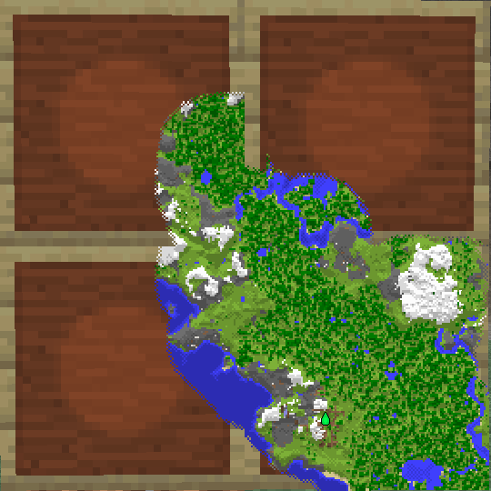
English: Official Map of Maximilian by IndianaMax Archived (June 2021) |
|---|---|
| Source |
Own work |
| Date |
2021-06-24 |
| Author | |
| Permission (Reusing this file) |
See below.
|
Licensing
I, the copyright holder of this work, hereby publish it under the following license:
|
File history
Click on a date/time to view the file as it appeared at that time.
| Date/Time | Thumbnail | Dimensions | User | Comment | |
|---|---|---|---|---|---|
| current | 10:02, 24 June 2021 | | 540 × 540 (50 KB) | IndianaMax (talk | contribs) | Uploaded own work with UploadWizard |
You cannot overwrite this file.
File usage
The following page uses this file: